We don’t know what we don’t know. I’ve been reminded of this phrase so many times this summer while doing fieldwork for the Digital Risk Infrastructure Program (DRIP) for Underserved Rural Texas Counties. I still remember the first National Science Grant I applied for. I downloaded the solicitation, worked on the 45-page document for six months, submitted it into research.gov, and anxiously waited. Two days later I received an email from a grant administrator at my university. I had misread the solicitation, missed the actual due date, and there were no more submission opportunities. I must have cried for a solid day. How could I possibly misread a document and cost myself hundreds of hours?
I didn’t admit this mistake to anyone for several years. I was so embarrassed. But today I realize I didn’t understand the jargon in the solicitation and did not realize the first year a solicitation is active the due date might be different from subsequent years. Eventually, I gained enough knowledge about writing grants that I became fairly successful, and now I want to help others find that success as well.
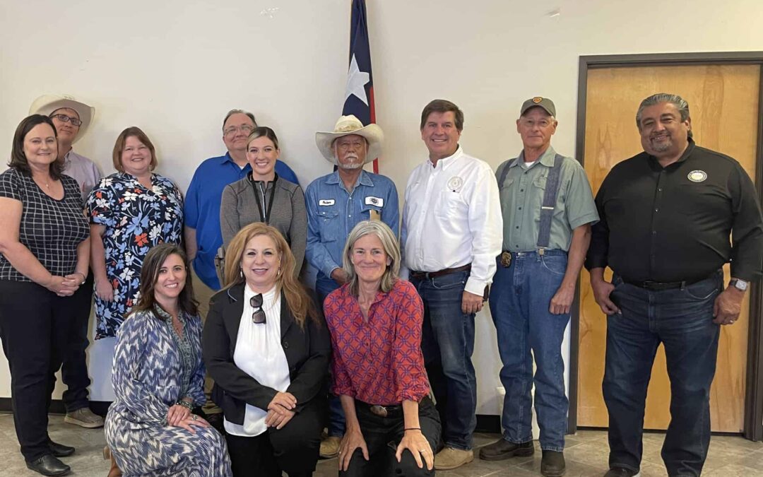
As I’ve traveled throughout rural counties in Texas and met with the incredibly committed emergency managers, and city and county officials and employees, I thought back to when I was learning, and often failing, as I wrote my first few grants. Grants are so complex and even the instructions are often difficult to understand. It is quite possible for well-meaning people to think they qualify for a grant, spend their time compiling all the required information, submit the grant, hear that they did not get the grant, and never know they should have never applied for that specific type of funding because they were ineligible.
Funding for Disaster Mitigation, Response, & Recovery
Grants are important in the disaster mitigation, response, and recovery processes, and so is access to the types of data that allow a grant seeker to craft a compelling argument for the value of funding their projects. Helping rural and underserved communities in Texas get access to the types of data and data-related products they need to improve their communities is the goal of our project.
This summer our team is traveling to various rural locations and small communities around the state to better understand their challenges around flooding and the types of data they currently have available to them. One of the greatest things about our approach to this project is that we are not going into these communities with any preconceived ideas around what they might need. Researchers often develop data products first, then try to find communities who can use them, but we are NOT doing that. Our team is 100% committed to listening to rural communities and then co-designing solutions that will truly be useful.
Upper Rio Grande Valley in 2022
Counties in Texas that are considered predominately rural come in many different sizes. Hudspeth County, for example, has a population of 3,287 people (as of July 2021) and consists of 4,570 square miles. It only has three public schools in the county and there is one group of students who jump on a bus and travel 90 miles in each direction to get to and from school each day. The county judge dresses up like Santa Claus and travels to all three schools in a single day to bring holiday cheer to the students. How does he make it to all three schools in a single day? A local rancher picks him up in his helicopter and flies him from school to school.
Not only are many counties sparsely populated, but they often have limited county budgets and few staff with flood-related expertise. As part of our process in DRIP, we also want to shine a bright light on the challenges rural communities face. It can be hard for communities with few resources to get their voices heard, so people outside their areas can be completely unaware of the magnitude and scope of their flooding issues. Official floodplains in Hudspeth County haven’t been updated since the mid-1980s, and many counties are experiencing growth, which can increase and change the areas that flood. Communities have been developed in floodplains because land is less expensive, and since home mortgages are not possible in these situations, flood insurance is rarely a mitigation option. Now, some areas are experiencing repeated flooding, and the homeowners are trying hard to protect their homes and families.
This means they are building homemade dams, often called el borde, or borders, to protect their property. They build them out of materials like hay, dirt, and old tires—anything to limit erosion and create a border. They know that when the flash floods come, they must be ready or risk losing what they have worked hard to build.
For example, they don’t have recent floodplain or drainage data, and every time areas flood, they have no way to capture the new berms that people have built. They also have no educational materials to share with their communities to explain flooding and how building berms might create problems for others as they re-direct the water flow. We will be bridging the data gaps and helping them know more about what they don’t know now and don’t have access to use. As a person who grew up in a rural Texas county that flooded, I am thrilled to join this meaningful project. With DRIP we are looking forward to learning more and developing solutions tailored to help.