Walking around La Grange, Texas and visiting communities in Fayette County, we were struck by the huge oak trees, including many of them in the middle of a paved road! Right on the edge of La Grange is the Colorado River, and that beautiful source of water is, in large part, responsible for enabling those majestic trees. But in September of 2017, that community was reminded that the Colorado River doesn’t care that many people live right next to it, because when there is a lot of water coming from upstream, a river doesn’t have real borders. Water will go where it needs to, and people can do little to stop it. This is what happened when there was considerable rainfall generated by Hurricane Harvey. The town of La Grange experienced massive flooding.

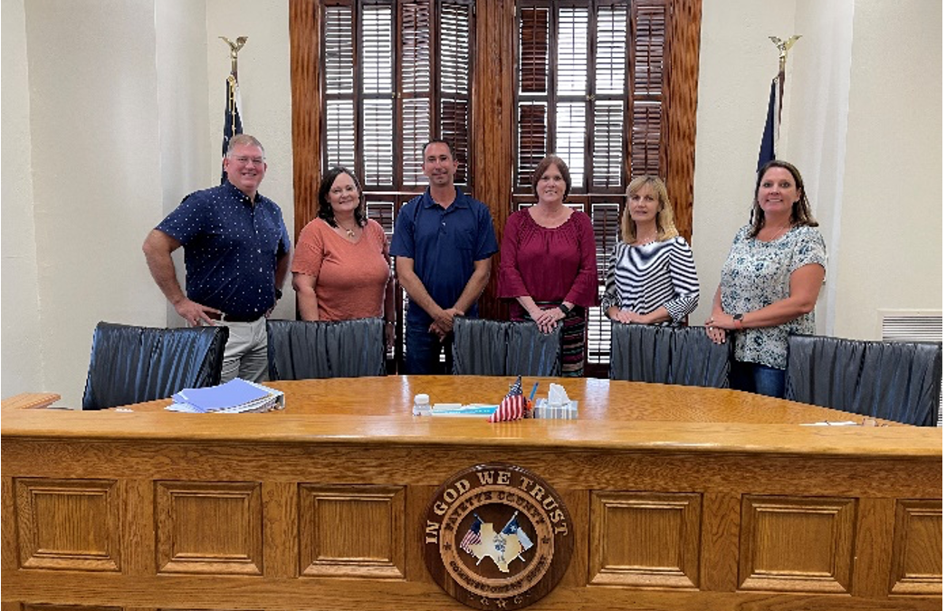
Fayette County experienced river flooding during that event, but they have also seen a rise in street flooding. This county has 24,500 people living there and the city of La Grange has around 5,000 residents. Like many communities, drainage is a big issue for them and with heavier rainfall happening within a short period of time, the capacity of the drainage systems become overwhelmed. Here, the county and the city of La Grange are combining efforts to work against flooding. Whereas during Hurricane Harvey, their county Emergency Management Coordinator handled many different tasks, the current county judge has prioritized developing their specialization. Not only has he appointed an Emergency Management Coordinator, but they also have a Floodplain Administrator, a GIS expert, and a dedicated grant writer to help them seek funds to improve their flooding. They also work closely with their County Commissioners and the City Manager of La Grange. This is quite a team dedicated to taking proactive steps to plan for the future and address flooding.
But even with this committed team, they are a smaller county that has to deal with complex layers of bureaucratic practices that require specialized expertise and access to data. It also takes years for them to receive funding and reimbursement, so it can really stretch these small communities. While they have access to some important data needed to seek the improvements they need, much of the data resides within specific community members. As people move away or retire, there is a risk that this local knowledge can be lost. This is one area that our pilot project, Digital Risk Infrastructure Program (DRIP) for rural Texas communities, is seeking to better understand. We will be working with local partners to help them access data and to design digital infrastructure tools that allow them to take control of the data they need.
This will be important for communities like Fayette County because it is experiencing growth. As new people move in, they lack the historical knowledge of how floodings happens in this community, and without some form of education, they can be caught off guard. While growth is essential for small communities, rapid development can change the local environment and make it challenging to predict where water will flow in the future. Whether it is flooding from rivers or flash floods that impact roads throughout cities and counties, this risk is a challenging one to communicate. It is so easy to buy land and want to build under the majestic oak trees in Fayette County. But it is also important that cities, counties, and states do a good job of communicating with their residents and newcomers about the changing risk of flooding that looks different than it did in the past.


